The Motor Cycle Industry Association (MCIA) have announced their support for the development of a new Green Road Map (GRM) – a public access project currently in beta development by the Trail Riders Fellowship.
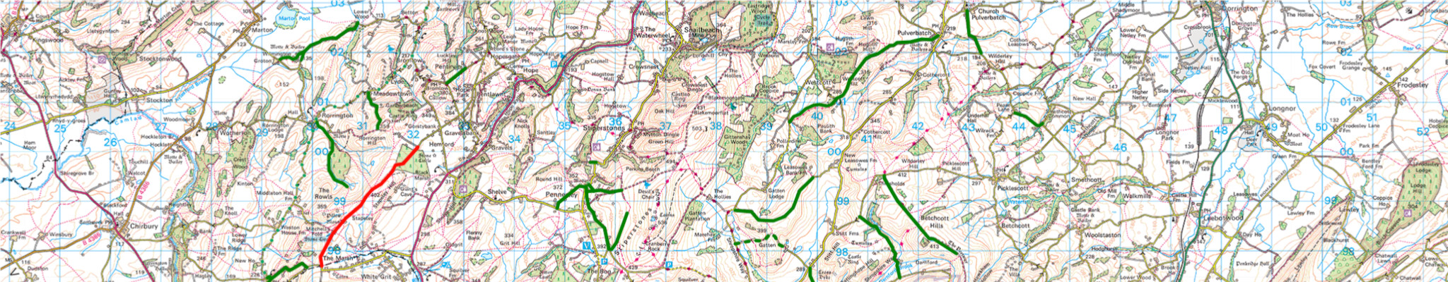
The MCIA recognises the importance of the Green Road Map (GRM) in underpinning the rights of access for motorcyclists to the Green Road Network. The GRM is an online mapping of the Green Roads of England and Wales that shows the location of the roads and their current legal status, created with the input and expertise of the TRF’s officers from the TRF’s 40 groups nationwide.
Between the public paths, restricted byways, and black roads are around 6000 miles of Green Roads that are available for the public to enjoy by any responsible and reasonable means of travel, including motorcycling.
Previously there was no coherent and comprehensive publicly available national record of Green Roads for any user group. The Green Road Map project seeks to rectify that and provide clarity and protect this national asset for the public benefit of countryside access.
Tony Campbell of the MCIA said: “Ensuring clarity and preservation of Green Roads is not just about facilitating access but enjoying the countryside too. MCIA is proud to stand behind TRF’s Green Road Map initiative, advocating for a comprehensive and unified approach that benefits all enthusiasts while safeguarding these natural assets for generations to come.”
The TRF are members of the National Motorcyclists Council, which is also a key supporter of the GRM. Executive Director Craig Carey Clinch added, “The map brings clarity around Green Roads, accurately detailing what is available for the public to explore, including motorcyclists. We urge public authorities and other user groups to both recognise and support this important project.”
Graeme Collins TRF CEO said: “The GRM is a milestone project for public access and motorcycling. Industry, rider, authority, and wider public support for the project is a key component of its success and we welcome the involvement of the MCIA and NMC.”
The Green Road Map is currently in Beta development phase with plans to release to the public in the future. You can learn more here.
What are Green Roads?
There is a wide variety of terms used to describe a rural road with an unsealed surface.
Unsealed roads are often referred to as Byway Open to All Traffic (BOAT), Unclassified County Road (UCR), Other Route with Public Access (ORPA), White Road, Unsealed Unclassified Road (UUR), Unmetalled Road and Green Lane.
Green Road is the TRF’s preferred term to unify this confusing array of terms and provide clarity to the public as to the status of the route.
Why has the TRF created the GRM?

The world of Trail Riding and Green Roads has a bewildering array of terms here are some references to get your head around

A short history of public mapping and how it has impacted the status and reputation of Green Roads and Trail Riders ability to use them

Examples of how current public mapping of Green Roads works to the detriment of Trail Riding and wider public access
Trail Riders Fellowship
Registered in England and
Wales No. 05848933
218 Strand London WC2R 1AT