The Green Road Map
A living breathing map of Green Roads in England and Wales for the public to explore, enjoy and contribute to.
There are an estimated 350,000 miles of highway in England and Wales. Roughly 40% is path or restricted byway and off-limits to motor traffic, and the rest of the highways are nearly all made up with tarmac - black roads. Between the black roads and paths are around 6,000 miles of Green Roads exist that are available for the public to enjoy by responsible and reasonable means of travel, including motorcycling.
The TRF has created the Green Road Map to:
> Remedy the harm to public access of current public mapping which is inconsistent and causes confusion as to the status of Green Roads, misinformation, absent or misleading signage, and the confusing array of terms used to identify Green Roads.
> Educate and inform all users, particularly motorcyclists, as to their entitlement. To promote sustainable and responsible use of Green Roads with consideration for all road users and the environment.
> Act as a mechanism to identify Green Roads in need of improvement.
> Protect public paths and restricted byways, reducing the likelihood of inadvertent and unlawful use by motorised vehicles.
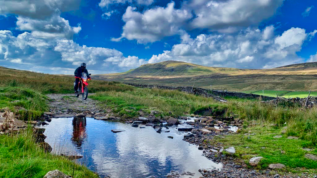
Just some of the features you enjoy as a member
TRF Members enjoy an enhanced version of the GRM which shares a lot more information than the public version will have when released. Members enjoy enhanced mapping, road descriptions, sensitivities, and lengths, along with photographs and other valuable information
To be clear, the GRM was never conceived as a “SatNav” or route plotter – there are many other great apps and devices in the market that do this. The GRM is a conservation tool that also delivers the benefit of helping Trail Riders discover where it is legal to ride. The tracks are not available to download as the network is in a constant state of change. It is however possible to view the map on a smart phone.
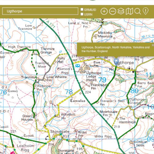
Search the GRM by place name, USRN or GRMUID
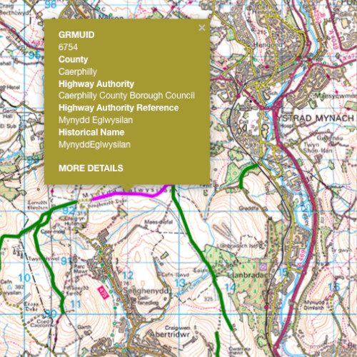
Click on a road and a dialogue box is revealed. MORE DETAILS reveals further information about the road under the map section.
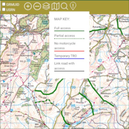
The GRM allows members to identify Green Roads with full and partial access, as well as those closed to motorcycles on a short or long-term basis.
Join 9,000+ riders actively conserving Green Roads for all to enjoy today.
Related Stories
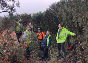
Conservation projects
Every year the TRF is involved in conservation projects that help maintain the Green Road Network for all users to explore and enjoy…
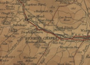
Green Roads on public mapping
A short history of public mapping and how it has impacted the status and reputation of Green Roads and the publics ability to use them…
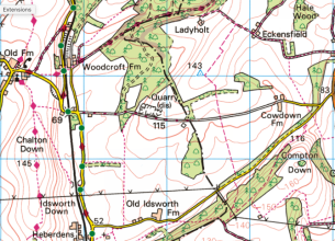
Public mappings case studies
Examples of how current public mapping of Green Roads works to the detriment of Trail Riding and wider public access…
